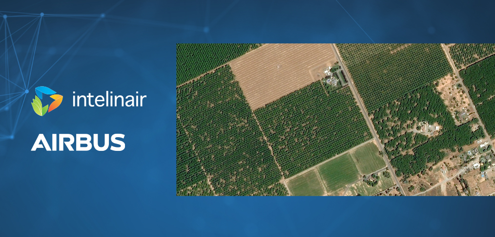
Herndon, Va. and Indianapolis, 23 February 2022 – Intelinair and Airbus announced today a multi-year collaboration agreement that will provide high-resolution, Airbus satellite imagery as an input to Intelinair’s artificial intelligence (AI) powered crop analytics AGMRI® platform to deliver a complete view of every acre, every field from planting to harvest.
High-resolution imagery services from the Pléiades and SPOT 6/7 satellites will provide 50cm and 1.5m geospatial imagery into the AGMRI platform as an additional input, so that farmers and ag retailers can make data-driven decisions and proactively manage their operations with confidence.
“We are very pleased to be providing high-resolution imagery from Pléiades and SPOT 6/7 satellites, whose complementarity makes them the ideal assets for enriched crop management. They deliver fresh information along with historical insights to help drive decisions in the field. Our data along with powerful machine learning and computer vision from Intelinair will help improve crop yields,” said François Lombard, Director of the Intelligence business at Airbus Defense and Space.
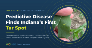
With satellite and other aerial imagery sources, farmers receive a new perspective of the agronomic conditions in the form of emergence, plant health, weed detection and harvest readiness in their fields throughout the growing season. From this perspective, product performance and crop damage issues become visible so timely management decisions can be made to protect yields and optimize financial returns.
“We are excited to extend our collaboration with Airbus for the next three years,” said Tim Hassinger, CEO & President of Intelinair. “Airbus’ high-resolution satellite imagery provides another technology to pair with our analytics platform, AGMRI, so that farmers are able to identify issues in their fields before they become a problem. The use of satellites also will provide the ability to serve growers and ag retail channel partners on a global scale.”
Download a pdf of the release.
About Intelinair
IntelinAir, Inc., is an automated crop intelligence company that leverages artificial intelligence and machine learning to model crop performance and identify issues enabling farmers to make improved decisions throughout the crop season. The company’s flagship product, AGMRI® aggregates and analyzes data including high resolution aircraft, satellite, and drone aerial imagery, equipment, weather, scouting, and more to deliver actionable Smart Alerts on specific issues in areas of fields as push notifications to farmers’ and retailers’ computers, iPads and smartphones. The proactive alerts on agronomic and operational issues allow farmers to intervene, rescue yield, capture learnings for the next session, and identify conservation opportunities for sustainable farming. Annually, Intelinair analyzes millions of acres of farmland, helping growers make thousands of decisions for improved operations and profitability.
About Airbus
Airbus is a worldwide leading aerospace company, and n°2 world leader in geospatial data and services provision. Data is at the heart of everything today. But we know that it is not a “one-size-fits-all” matter. Thus, our approach has always been to offer multi-sensor, multi-resolution, multi-source data. We provide you with proprietary access to the largest commercial satellite constellation combining optical imagery from Pléiades, SPOT, Vision-1 and DMC as well as the radar constellation (consisting of TerraSAR-X, TanDEM-X and PAZ). We are further expanding our sensor capabilities with the Pléiades Neo constellation giving you higher resolution, greater revisit and more acquisition capabilities. Combining our data and third-party data with unrivaled expertise in satellite imagery acquisition, data processing, fusion, dissemination, intelligence extraction and comprehensive applications experience, we deliver a broad product and services portfolio spanning the entire geo-information value chain.
®Trademark of IntelinAir, Inc.